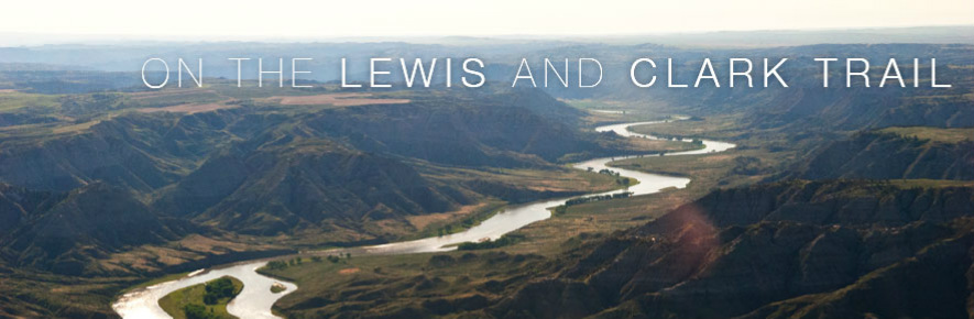
Map of Western America
What They Discovered?
|
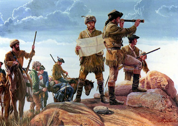
By traveling through western America, Lewis and Clark mapped out the rivers, lakes, regions, mountains, and specific areas where certain Natives lived. By discovering all of these they determined the names of the rivers, lakes, mountains, and regions. They discovered over 266 rivers and creeks and recorded around 140 maps and guides. The main goal of this expedition was to find a water way all the way from the east, or the Atlantic Ocean all the way through the America, and out the other side, or western America. But they did not find a big enough river that would allow boats to bring supplies and to trade to other parts of the world more quickly, on the western side of America. Jefferson thought that at the end of western America, they would reach East India, but that turned out to be completely wrong.
|
|
How it helped effect today?
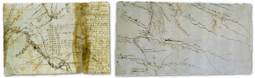
The expedition that Jefferson led helped collect information from geographic features, Lewis and Clark also made detailed route maps, and they recorded their observations of the longitude and latitude of America. Clark was the main one who recorded and observed the course and made drafts of expedition maps. By recording and helping make these geographical maps and observations, the rest of America could now see and understand what the rest of the United States looked like. It showed and immediately determined false lies about the west by bringing trustworthy knowledge back from Lewis and Clark's expedition. By acknowledging what Lewis and Clark had done, Americans could now realize what they could and couldn't do out in the west. It was no longer a mystery, but a known safe place, another world. It helped show what else was out in the west, whether it was good or extremely bad. People could finally understand the West and now no one was afraid of it. Americans would start development and commerce there. Because of this, it increased trading dramatically and by Native American relations, Americans were not as scared as they used to be, and could roam the western land.
Main Discoveries
|
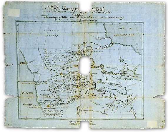
Before this expedition, there was no factual evidence of any type of mapping of the western America. It was all based on rumors, legends, and distorted versions of Indian data. So by this new data and mapping, made by Lewis and Clark, there was actual real information that was factual and truthful about the west.
Jefferson's explanation of the expedition, he says that Lewis and Clark need "to explore the Missouri river, and such principal streams of it, as, by its course and communication with the waters of the Pacific ocean, whether the Columbia, Oregon, Colorado, or any other river, may offer the most direct and practicable water-communication across the continent, for the purposes of commerce." This was his main goal and mission for the trip. Everyone had though or heard that the Rocky Mountains in the west were just hills but it turned out that it was a vast upland area with a massive geographical feature made up of mountains and deep valleys. |
|